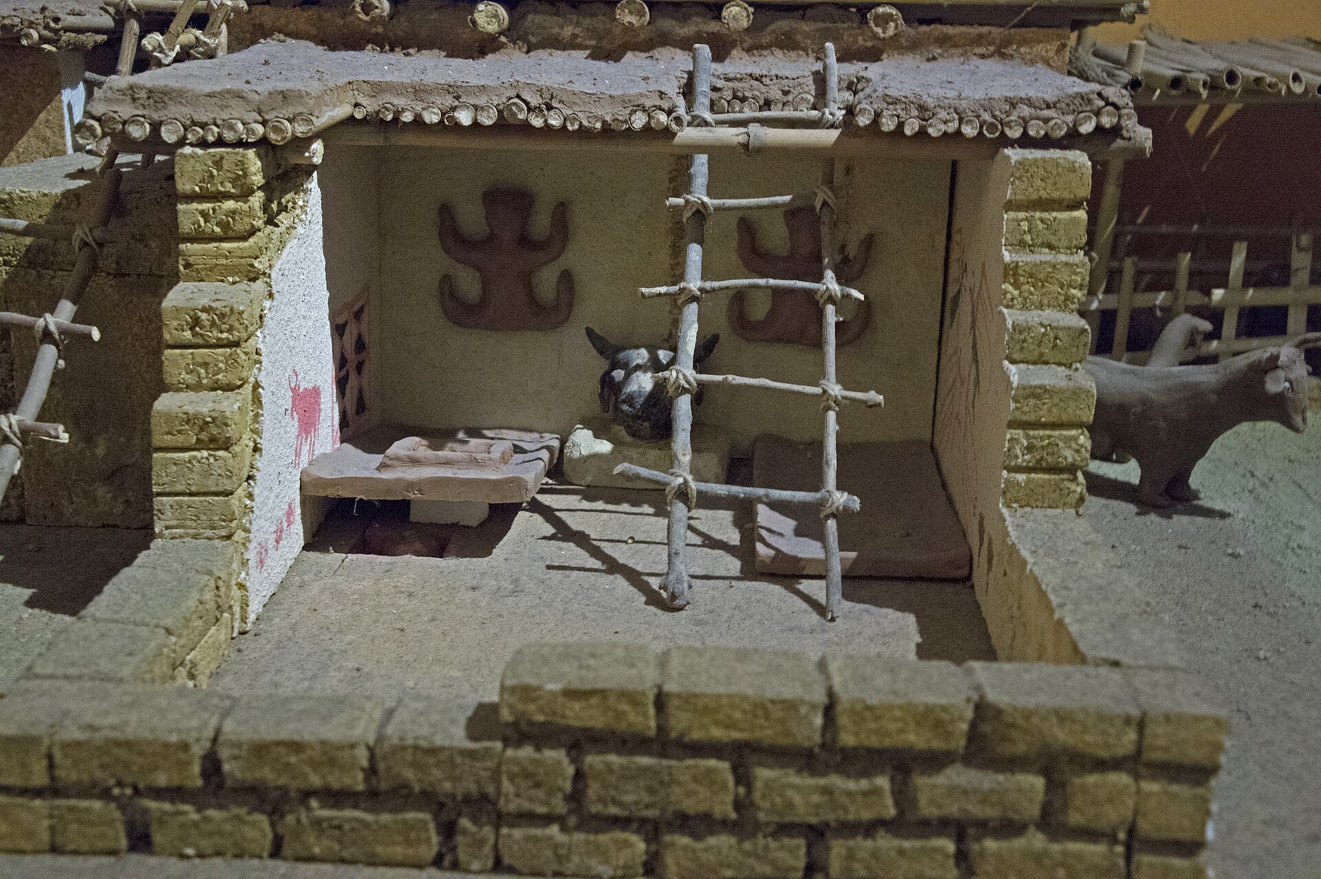
Catalhoyuk rises from the Konya plain on the Southern Anatolian Plateau as two mounds, the taller holding eighteen levels of Neolithic occupation between seven thousand four hundred and six thousand two hundred BC. People lived on the same spot for over two thousand years, moving from settled village toward something closer to a town. The layout is what makes it strange. How did anybody get indoors?
Through the roof. The settlement is , with houses clustered back to back and roof access into the buildings, so the roofscape served as the circulation layer and the walls between dwellings were shared. Activity areas inside follow a clear spatial order aligned on cardinal directions, and the dwellings are of comparable size throughout, which UNESCO reads as an early urban layout built on community and egalitarian ideals.
Two form the thirty-seven hectare site on the Southern Anatolian Plateau, rising up to twenty meters above the Konya plain. Excavation of the eastern tell has revealed eighteen levels of Neolithic occupation dating from seven thousand four hundred to six thousand two hundred BC, including wall paintings, reliefs and sculptures. The western tell holds levels from six thousand two hundred to five thousand two hundred BC.
What that records is a transition. Catalhoyuk holds evidence of the move from settled villages to urban agglomeration, maintained in the same location for over two thousand years. That is why it counts as one of the key sites for understanding human prehistory.
The layout is the distinctive part. The settlement is streetless, with houses clustered back to back and access into the buildings from the roof. Inside, activity areas and features follow a highly circumscribed spatial order aligned on cardinal directions, and the dwellings are of comparable size throughout the city.
UNESCO draws a social reading from that. The comparable sizes of the dwellings illustrate an early type of urban layout based on community and egalitarian ideals. The inscription criteria describe agrarian settlements developing from villages into urban centers largely on egalitarian principles. Those principles survived because the site was abandoned for several millennia, which left the urban plan, the architecture, the wall paintings and the burials readable.
wat. No streets and no front doors. You walked over your neighbors and climbed down into your own house.
wat wat
Dense urban living is usually told as a story about streets and hierarchy. Here is a settlement of comparable houses with no streets at all, holding together for two thousand years.
How do we know?
The UNESCO World Heritage listing for the Neolithic Site of Catalhoyuk sets out the stratigraphy, the layout, the wall paintings and the criteria under which the site was inscribed.
What is still unknown
A World Heritage inscription summarizing the significance of a site, not an excavation report. The reading of comparable house sizes as egalitarian ideals is an interpretation the document states rather than proves.
Learn something?
Where to next
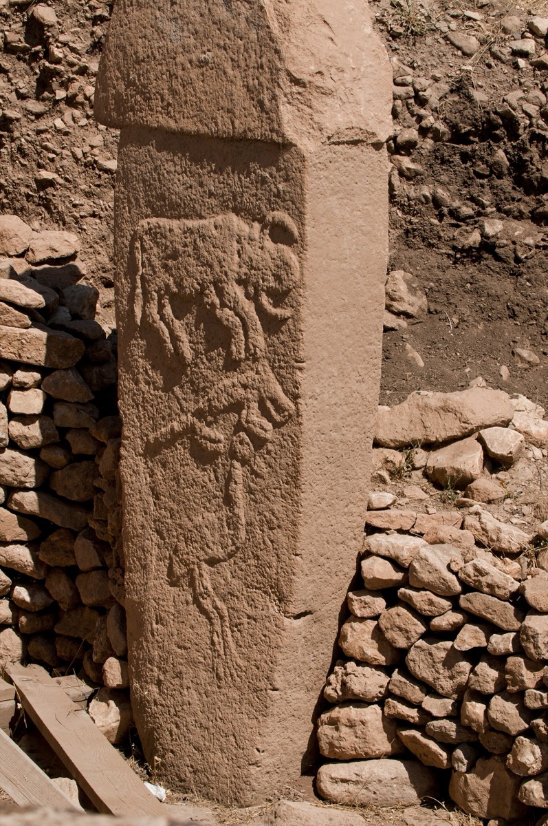 Which came first, farming or temples?neolithic
 If trees cancel almost half the urban heat effect, why does the thermometer barely move?cities
 How many people in the world can no longer see the Milky Way?cities