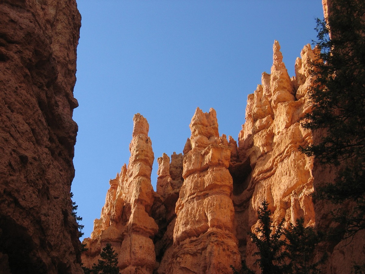
Bryce Canyon sits at up to 9,115 feet, and its rocks formed near sea level in a lake and floodplain system around 50 million years ago. Getting them up there took plate tectonics. Turning a plateau into spires took something far smaller and more repetitive.
Water freezing in cracks, roughly 170 nights a year. Melt or rain seeps into the rock, freezes overnight, and expands by 9 percent, which exerts enough pressure to break the rock apart. The park calls it , and a plateau breaks down through walls, then windows, then individual .
The park sets out three steps. First, deposition. The rocks record an ancient lake and floodplain system from about 50 million years ago, where streams stripped particles from higher ground to the west and left them in a low basin. Those particles cemented into limestones, dolostones, mudstones, siltstones and sandstones.
Second, . Those rocks formed near sea level, and Bryce Canyon now reaches 9,115 feet, or 2,778 meters. Heat generated by the descending Farallon Plate led to the uplift of the Colorado Plateau, which raised the whole package.
Third, weathering and erosion, which is where the shapes come from. Bryce crosses the freezing point on about 170 nights a year. Water seeps into cracks, freezes, expands by 9 percent and wedges the rock apart, and a plateau gives way to walls, then windows, then hoodoos.
The profile of each spire comes from chemistry. All the rocks contain abundant , which dissolves in slightly acidic rain, and layers differ in how much of that cement they hold. The more resistant layers jut out and the softer ones indent, which is why hoodoos look carved rather than broken.
wat. Water freezes in a crack, expands by nine percent, and over time a plateau becomes spires.
wat wat
The dramatic landform is the product of the least dramatic process available, repeated for a very long time.
How do we know?
The National Park Service sets out the three steps, deposition, uplift and then weathering and erosion, along with the freeze-thaw count and the chemistry that shapes the spires.
What is still unknown
This is a park service explanation of a landscape rather than a measurement study of erosion rates.
Learn something?
Where to next
 What did geologists do to the man who proposed continental drift?geology
 Why does cooling lava crack into columns?geology
 Why did Mount St Helens flatten a forest sideways instead of upward?geology