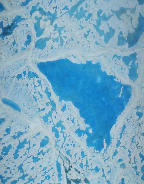
From orbit, and then checked from underneath. Many approaches have been applied to retrieving sea ice thickness, and according to this analysis only , radar or laser, has been proven to provide hemispheric estimates across a sufficient thickness range. Independent observations from and from submarines are what the satellite algorithms get tested against.
The satellite does not measure thickness directly. It measures how high the ice floats, and converting that into thickness requires knowing the density of the ice and the depth of the snow lying on top. Constant has been assumed until now to simplify the algorithm, and the paper’s sensitivity analysis is about what that assumption costs.
Accurate forecasting of climate change, sea ice mass balance, ocean circulation and sea-atmosphere interactions all require long-term records of sea ice thickness. Different approaches have been applied to retrieving it, and the paper’s assessment is blunt. Only satellite altimetry, whether radar or laser, has been proven to provide hemispheric estimates of thickness distribution over a sufficient range.
The difficulty is that an altimeter does not measure thickness. It measures how high the ice rides above the water, and converting that into thickness requires the density of the ice and the depth of the snow on top of it. To simplify the algorithm, constant ice density has been applied until now, which leads to different results for thickness and draft depending on what is assumed about density and snow.
So the paper is about choosing between algorithms rather than publishing a number. It uses statistical and sensitivity analyses together with independent observations of ice draft from moored upward-looking sonar and from submarines. The impact of ice density and on accuracy is examined, and the propagated uncertainties summarized.
One conclusion has a clear direction. The authors discuss the accuracy of snow depth retrieval algorithms in the Arctic and conclude that the assumption of half snow depth over first-year ice will always lead to underestimation of thickness and draft. One caution about scope: this is a methodological study of how the measurement is made, not a statement of how thick the ice is.
wat. The satellite measures freeboard; turning that into thickness is where the guessing starts.
wat wat
A long record of ice thickness is needed for forecasting climate change, sea ice mass balance, ocean circulation and the exchange between sea and atmosphere. The number everyone quotes rests on assumptions about snow.
How do we know?
The paper uses statistical and sensitivity analyses, together with independent thickness observations from moored upward-looking sonar and from submarines, to select among retrieval algorithms and to propagate the resulting uncertainties.
What is still unknown
A methodological analysis of retrieval algorithms rather than a thickness estimate in its own right. Its conclusions are about which assumptions bias the result and by how much, not about how thick the ice currently is.
Learn something?
Where to next
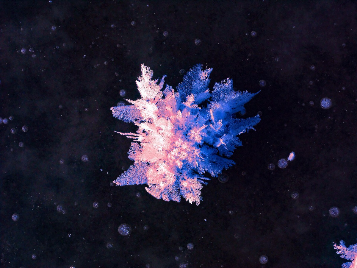 Where does the water come from in a frost flower on sea ice?sea ice
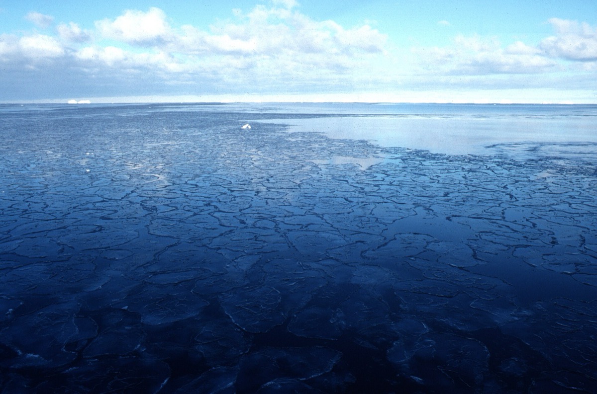 What decides how thick a field of pancake ice ends up?sea ice
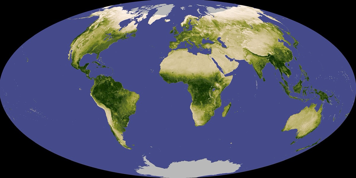 Has the Earth been getting greener, and if so why?satellites