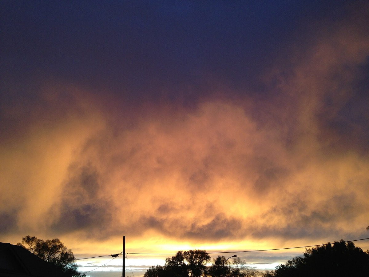
It does not stop, it evaporates. When the air under a cloud is very dry, falling rain or ice turns to vapor before reaching the surface, leaving feathery streaks hanging from the . Radar sees an ordinary shower. Nothing arrives at your feet. The streaks are called , and they trace the path the rain took on its way to disappearing.
Evaporation is not free. Turning falling rain back into vapor takes a great deal of energy out of the surrounding air, which cools that air sharply. Cold air is dense, so it can sink very fast, carrying a concentrated parcel of air and water down with it. That is a , and it is dangerous to aircraft. Mostly, though, virga is just something to look at.
Virga is ghostly precipitation that never makes it to the ground. When the air beneath a cloud is very dry, rain or ice falling through it evaporates before reaching the surface. What is left are feathery streaks extending from the cloud base, capturing the path the rain or ice took before becoming .
This creates an odd mismatch between instruments and experience. Virga shows up on radar as a typical rain or snow shower, because radar sees the falling drops perfectly well. At the surface there is no evidence of it at all. Great storms could be raging above your head, and the only trace is thin wisps drifting through the sky.
Then there is the part that matters for safety. The evaporation process takes a lot of energy out of the surrounding air and cools it. That cold air is denser than its surroundings and may sink very quickly, dumping a dangerously concentrated parcel of air and water or hail in a microburst. The visual effect and the hazard are the same process seen at different strengths.
Geography follows from the requirement. Virga is commonly seen in the western United States, in desert climates and in other dry areas, because the mechanism needs a thick dry layer below the cloud. One caution: this is a weather service education page, so it explains the phenomenon in words rather than giving any threshold for when streaks in the sky become a downdraft worth avoiding.
wat. Those streaks under a cloud are rain that never made it down.
wat wat
A pretty sight and a hazard share one mechanism. The same evaporation that erases the rain chills the air it falls through, and that chilled air is what can come down hard and suddenly.
How do we know?
The National Weather Service entry on virga describes the dry air beneath the cloud, the evaporation of the falling precipitation, the streaks it leaves, the cooling that follows, and the microburst risk.
What is still unknown
An educational page from a weather service rather than research, so it describes the phenomenon and its risk qualitatively and gives no thresholds for when virga turns into a microburst.
Learn something?
Where to next
 Does cloud seeding actually work?weather
 Who punches an almost perfect circle through a layer of cloud?clouds
 What makes those hanging pouches on the underside of a storm cloud?clouds