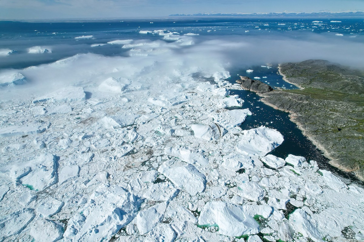
No, and the reasons are mostly local. The surface of the ocean is not flat, and it is not changing at the same rate globally. NOAA lists what shifts the figure locally: , upstream flood control, erosion, regional currents, variations in land height, and whether the land is still rebounding from the weight of .
That last one is strange and important. Ice sheets kilometers thick pressed the crust down, and thousands of years after they melted the land is still rising back up. Where it is rising, can fall even while the ocean gains water. Where the land is sinking instead, the local rise outruns the global average.
Sea level is rising, and at an increasing rate, and with continued ocean and atmospheric warming it will likely keep rising for many centuries at rates higher than this century’s. That is the global statement. The more useful question is what it means at a particular stretch of coast, and the answer is that it varies.
Global sea level trends and relative sea level trends are different measurements. Just as the surface of the Earth is not flat, the surface of the ocean is not flat either, and the sea surface is not changing at the same rate everywhere. Rise at a specific location may be more or less than the global average.
NOAA’s list of reasons runs as follows. Subsidence, upstream flood control, erosion, regional ocean currents, variations in land height, and whether the land is still rebounding from the compressive weight of Ice Age glaciers. Several of those are about the land rather than the water, which is why relative sea level can fall somewhere while the ocean gains volume.
The measurement follows the distinction. NOAA uses and satellite laser altimeters, and tide stations around the globe tell us what is happening locally, as height measured along the coast. Why it matters is a matter of where people live. In the United States almost forty percent of the population lives in relatively high-population-density coastal areas, and globally eight of the world’s ten largest cities are near a coast. One caution: this page names the local factors without sizing them.
wat. Your street cares where the land is going, not what the global average did.
wat wat
A global average is the wrong number for a city. Flooding, shoreline erosion and storm hazards depend on relative sea level where you are, and almost forty percent of the United States population lives in relatively high-density coastal areas.
How do we know?
NOAA measures sea level primarily with tide stations and satellite laser altimeters. Tide stations around the globe record the height of the water along the coast, which is what gives the local picture.
What is still unknown
An educational page summarizing the distinction rather than quantifying it. It names the local factors without giving their sizes, so it establishes that places differ and not by how much.
Learn something?
Where to next
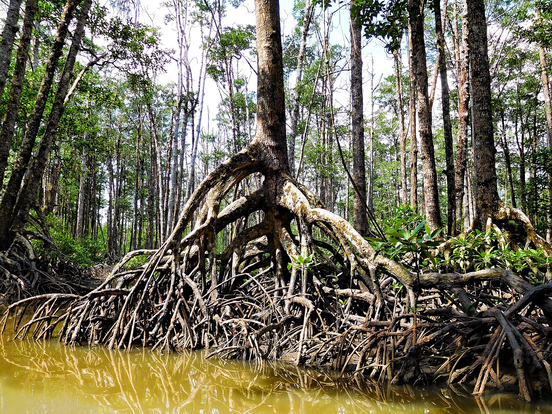 Where is most of the carbon a mangrove forest stores?coasts
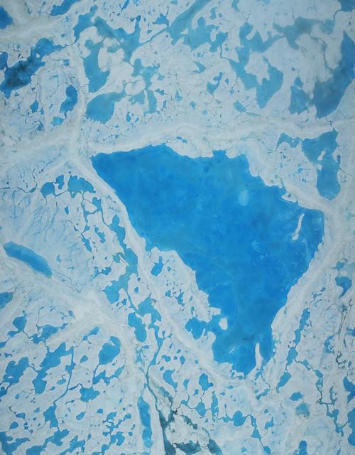 How does anyone know how thick Arctic sea ice is?measurement
 How long is the coast of Britain?measurement