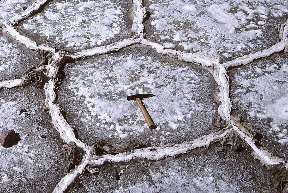
A salt crust breaks into polygons about a meter across, and the old account put that down to the crust shrinking as it dried. Two things do not fit. The polygons keep much the same size for kilometers, and their borders stand up as ridges rather than opening as gaps. So what draws the pattern?
Something moving underneath the crust. Evaporation at the surface leaves the brine there saltier and heavier than the brine below it, which is unstable, so it sinks while fresher brine rises to replace it. That circulation organizes itself into cells in the soil, and where the brine rises it delivers new salt to the surface and builds a ridge. The pattern above is the shape of the flow below.
cover the floor of a salt desert at a remarkably even size, around a meter across, in places as far apart as Death Valley and Tunisia. Two details do not sit well with shrinkage: that characteristic size, and the fact that the borders are raised rather than sunken.
Measurements and a model pointed deeper. Evaporation concentrates salt in the uppermost brine and makes it heavier than the brine beneath, an unstable arrangement, so the dense fluid sinks and fresher brine rises in its place.
What forms is a field of cells inside the ground, like a pan of heating water running at a crawl. Flow through is slow enough for that. The work combined salinity sampling under real salt flats with analogue experiments and numerical simulation, which let a predicted cell size be compared with a measured polygon size.
Where the flow rises it carries fresh salt to the surface and deposits it, so each ridge is and the boundary is where material accumulates rather than where it is absent. The polygon size then follows the size of the convection cells, which is why it holds across kilometers. Initial cracks, flooding and crust thickness still leave their marks, and no single model reproduces every basin.
wat. The ridges of a salt polygon are fed by brine rising from circulation cells under the evaporating crust.
wat wat
A pattern anybody can walk across turns out to be a readout of three-dimensional flow underground, which nobody can see directly.
How do we know?
Lasser and colleagues combined salinity measurements from beneath salt deserts with field observations, analogue experiments and numerical models of convection in the fluid between soil grains.
What is still unknown
Initial cracks, flooding and the thickness of the crust all play a part, and the model does not reproduce every detail of every salt basin.
Learn something?
Where to next
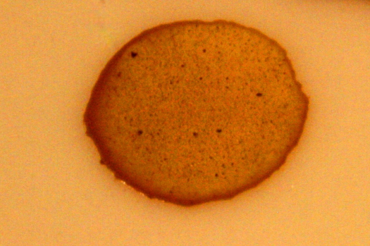 A drop of coffee dried on the table. Why is most of the stain at the rim?evaporation
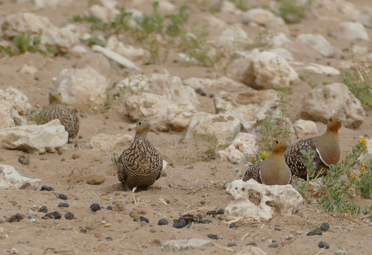 How does a desert bird carry water home to its chicks?desert
 Can swapping the salt in the kitchen prevent a stroke?salt