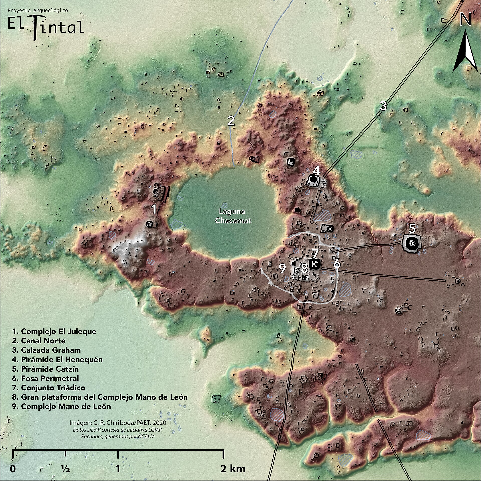
Survey aircraft fire laser pulses at the ground and measure how long each takes to return. Some of the pulses find gaps between the treetops and reach the soil, so leaves a model of the ground itself. What came up under the jungle?
A worked, managed landscape rather than a collection of buildings. In northern Guatemala the method revealed tens of thousands of structures, raised roads between regions, agricultural and fortifications. It covers more than two thousand square kilometers, on a scale nothing seen from the ground had suggested. Terraces imply intensive farming, roads imply steady contact, and fortifications imply conflict.
The problem in rainforest archaeology is not digging but seeing. The vegetation hides everything, and you can stand on a hill without knowing it is a pyramid. So the maps rested on whatever somebody had managed to reach on foot.
goes around that. An aircraft fires hundreds of thousands of laser pulses a second and times their return. Most stop in the canopy, and a small share finds a gap between the leaves and reaches the ground. Filtering out all the early returns leaves exactly what got to the bottom, and so the forest is erased from the map.
What turned up in northern Guatemala was on an entirely different scale from what was known. Tens of thousands of structures, raised roads between regions, agricultural terraces and fortifications, over more than two thousand square kilometers.
The significance is not only quantity. Terraces testify to intensive farming that only pays at high density, roads testify to steady contact between centers, and fortifications testify to conflict. Together those changed the estimates of population and of organization. And it bears remembering that a bump on a map does not say what the structure was or when it was used, so survey and excavation are still needed.
wat. Laser pulses that slipped between the leaves redrew the roads and houses of the Maya.
wat wat
The mapping changed the estimates of population density, of farming, and of the connections between Maya centers.
How do we know?
The researchers compared the lidar maps against excavated sites, checked structures on the ground, and published an analysis of more than two thousand square kilometers.
What is still unknown
A bump on a map does not by itself say what the structure was or when it was in use, so survey and excavation are still needed.
Learn something?
Where to next
 Could only the Maya nobility enjoy cacao?Maya