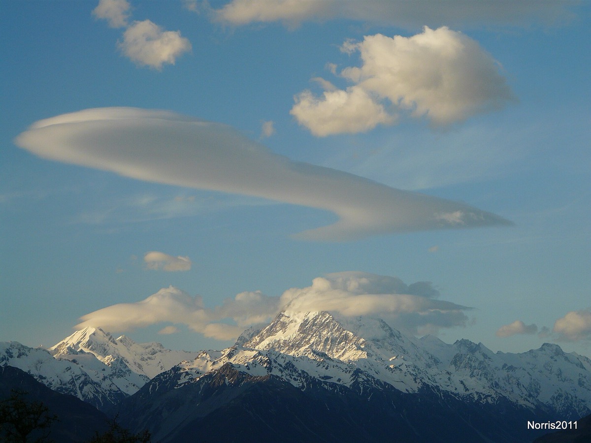
A lens-shaped cloud parked above a summit looks like a flying saucer or a stack of pancakes, and it looks stationary while the wind up there is anything but. Either the cloud is somehow anchored, or it is not the same cloud from one moment to the next. The National Weather Service explains which, and the answer also carries a warning for anyone flying nearby.
The cloud is being continually rebuilt in place. clouds form in the of , the gravity waves that develop when stable fast-moving air is forced up and over a ridge lying across the wind. Inside a crest the air rises and moisture condenses; just downwind it sinks and the cloud dissipates. So the cloud forms and disappears continuously while wind pours straight through it.
People photograph these clouds every winter and reach for the same two descriptions, a flying saucer or a stack of pancakes. Their proper name is altocumulus standing lenticular, and the puzzle they pose is simple to state. The cloud appears fixed above high ground on a day when the wind aloft is strong.
They are associated with waves in the atmosphere. These develop when relatively stable, fast-moving air is forced up and over a topographic barrier oriented more or less perpendicular to the direction the upper-level wind is coming from. The deflection creates a gravity wave downwind of the barrier, which the weather service likens to the ripples from a pebble thrown into a pond.
Given enough moisture above mountain-top level, cloud develops within the crest of these mountain waves, where the air is rising. The clouds are continually developing in the vicinity of the crest and dissipating immediately downwind of it. That is why they appear to remain stationary even though winds are moving swiftly through the entire cloud.
They are most often seen in winter or spring, when winds aloft are typically strongest. The practical consequence is aviation. Aircraft encountering a mountain wave often meet severe , and the presence of these clouds is the most telling clue that a wave exists. When the air is too dry to support cloud development, pilots may be unaware that the wave and its turbulence are there. The weather service illustrates this with a sounding showing a shallow stable layer about two km above the surface. Northwest winds of thirty to forty knots ran through a deep layer, which is typical of days when the clouds appear.
wat. The lens-shaped cloud over the ridge is not hovering; it is being remade at the wave crest as fast as it is torn away downwind.
wat wat
The cloud is a visible marker for an invisible hazard. A mountain wave often means severe turbulence, and when the air is too dry for cloud to form, pilots get no warning at all.
How do we know?
The National Weather Service office in Albuquerque explains how these clouds form and illustrates them with dated photographs from New Mexico. It also relates them to an upper-air sounding from a day when they appeared.
What is still unknown
This is a weather service explainer rather than a research paper, and it describes the accepted mechanism with local examples rather than quantifying how often these clouds accompany turbulence.
Learn something?
Where to next
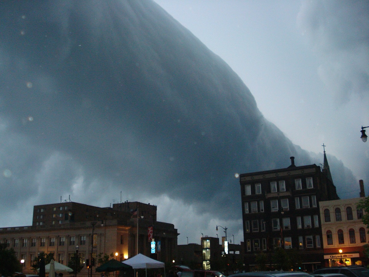 What is the difference between a shelf cloud and a roll cloud?clouds
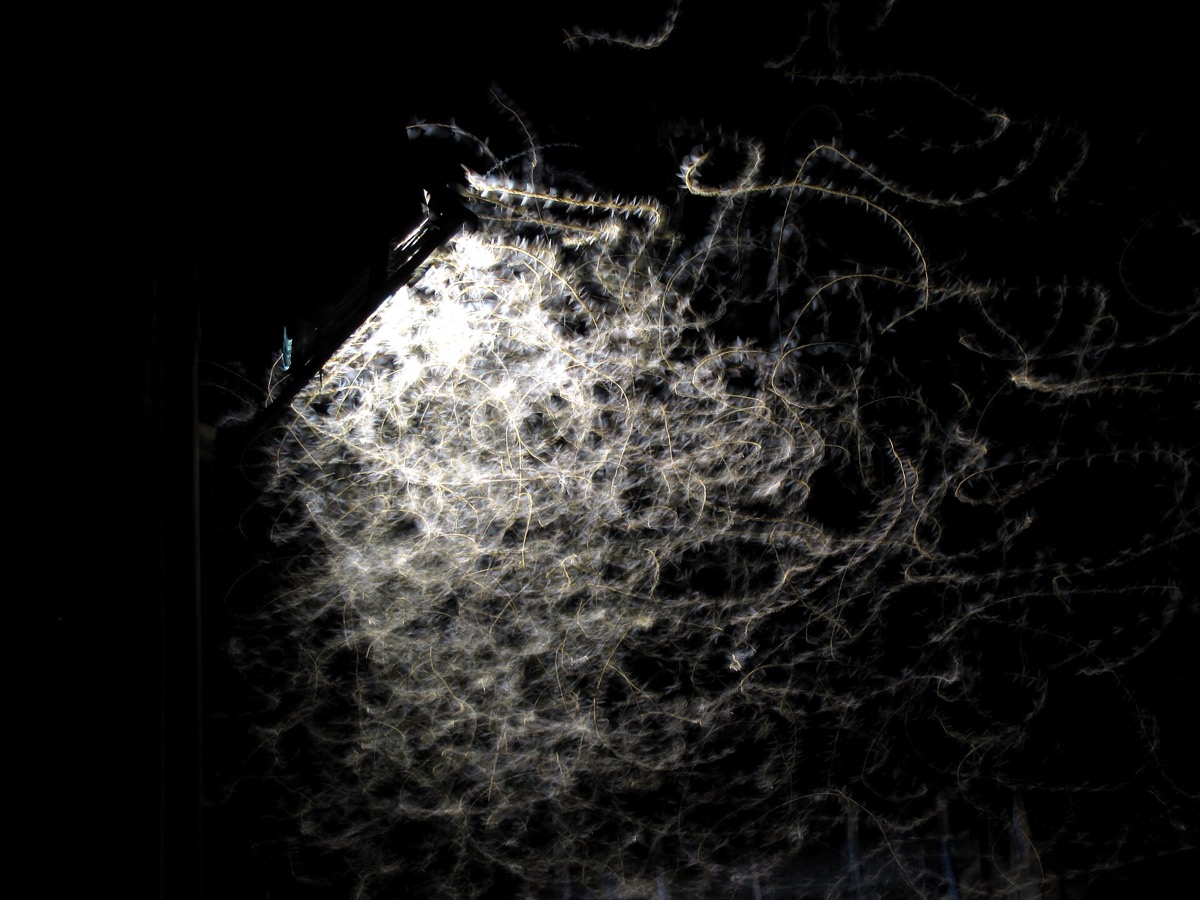 A moth circles a lamp and then dives. Is it really drawn to the light?flight
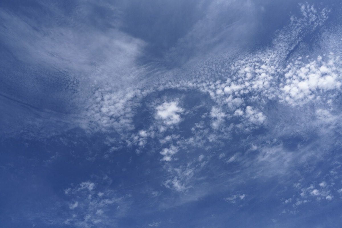 Who punches an almost perfect circle through a layer of cloud?clouds