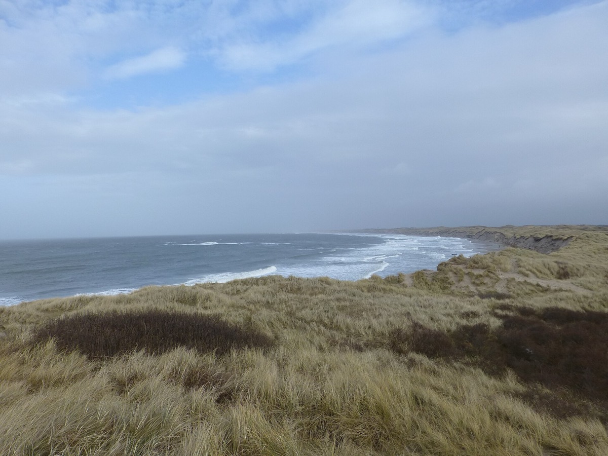
Doggerland is the drowned stretch of Europe that once joined Britain to the mainland, now lying roughly twenty to thirty meters below the North Sea. Archaeologists have mostly treated it as a , a thing people crossed between two more interesting places about twelve thousand years ago. Vincent Gaffney has spent two decades mapping it without ever standing on it. What does the map show?
A place worth staying. Working from huge quantities of , Gaffney built three-dimensional maps and simulations recreating the topography and ecological complexity of an area nearly the size of Washington State. Low hills and broad valleys, braided rivers and wide estuaries, marshy wetlands and long gravel beaches, home to bear, boar, red deer and people. His own objection to the old reading is blunt: nobody lives on a bridge.
Before Doggerland went under, it had low hills and broad valleys, braided rivers and wide estuaries, marshy wetlands and long gravel beaches, and it was home to bear, boar, red deer and people. It now lies roughly twenty to thirty meters beneath the North Sea, under water, suspended silt and seafloor.
Archaeology had a word for it that settled the matter. Doggerland was a land bridge, used to travel between Europe and modern-day Britain around twelve thousand years ago, which makes it a corridor rather than a country. Gaffney’s line is that everybody called it a bridge, and nobody lives on bridges.
He has conducted his explorations without ever setting foot on the site. At the research unit he founded at the University of Bradford, the method is sifting through huge quantities of seismic survey data. From it he derives detailed three-dimensional maps and simulations, recreating the topography and ecological complexity of an area nearly the size of Washington State.
The approach travels further than the place. Submerged exist worldwide, Beringia and Sundaland and the Sahul Shelf among them, together about the area of present-day North America. All of them were fundamental territories for human occupation and migration. Researchers in the Baltic and in Australia are adopting Gaffney’s methods. They drowned as the ice sheets retreated twenty thousand years ago and sea level rose more than a hundred and twenty meters. That was the last time humans lived through climate change on the scale now under discussion.
wat. Calling it a land bridge was the mistake. You do not live on a bridge, and people lived there for millennia.
wat wat
Submerged coastal shelves add up to roughly the area of present-day North America, and they were fundamental to human occupation and migration. Doggerland is the first one anybody has found a way to see.
How do we know?
Tristan McConnell’s feature for Hakai Magazine reports Gaffney’s work on submerged landscapes at the University of Bradford, built on seismic survey data rather than excavation.
What is still unknown
Seismic data maps a landscape, not the people in it. Finding actual artifacts on a seabed twenty to thirty meters down is a separate and much harder problem, which the work is only beginning to address.
Learn something?
Where to next
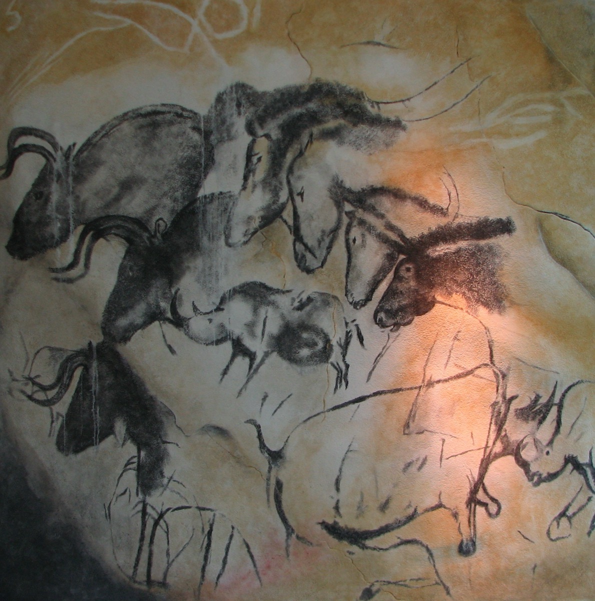 How many separate visits made the art at Chauvet?prehistory
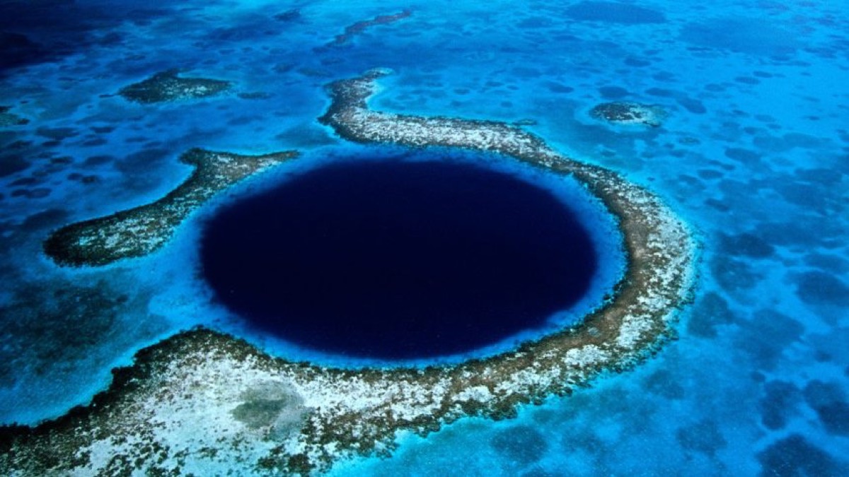 The blue circle of Belize sits in the middle of the sea. Why are there cave stalactites inside it?sea level
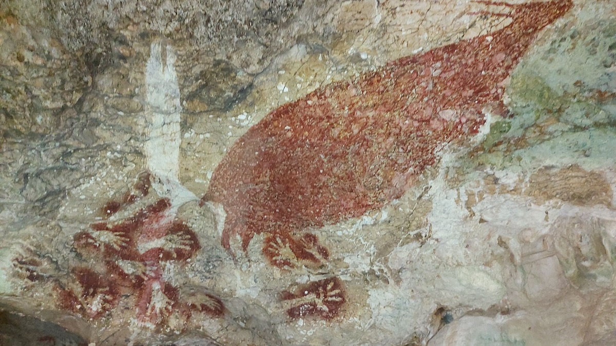 When did people start painting a story rather than a thing?prehistory